Severe thunderstorms: Know your weather, know your risk
The Bureau of Meteorology's annual public safety initiative is designed to raise awareness about severe weather helping Australians prepare for natural hazards.
This year's campaign runs from 8 September to 12 October, strategically timed ahead of Australia's high-risk weather season.
Each week highlights a different type of severe weather
- Bushfire
- Flood
- Severe Thunderstorms
- Heatwave
- Tropical Cyclone
Severe weather patterns
Typical weather patterns that can lead to severe weather or coastal hazards include:
- active and recently decayed tropical cyclones moving inland or into southern regions, sometimes interacting with cold fronts
- monsoon lows producing widespread gales and/or heavy rain in the tropics
- deep low pressure systems called east coast lows that can form in the Tasman Sea and affect the east coast of Australia
- vigorous squally cold fronts
- strong pressure gradients causing land gales – particularly in exposed alpine regions
- distant tropical cyclones or other low pressure systems producing ocean swells at Australian shores, causing damaging or dangerous surf
- broad, moist cloudbands extending from the tropics to southern Australia, causing heavy rainfall
- winds strengthening down the slopes of higher areas. This can cause damaging wind gusts called downslope winds.
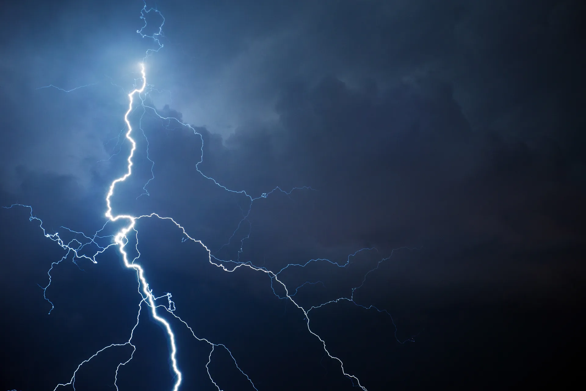
Understanding severe thunderstorms
To learn more about
- east coast lows
- types of thunderstorms, how they develop and the weather conditions they bring
- tornadoes and when we see them in Australia
- tropical severe thunderstorms
- severe weather and coastal hazard warning services and where to find safety advice.
Visit the Bureau of Meteorology's website for links, resources and the most up-to-date information.
Categories:
Tags:Severe thunderstorms